
Difference between revisions of "File:Candelaria Branch Detail USGS Map 1900.png"
From PacificNG
(Cropped from USGS Topographical Map 1909. UNR Special Collections.) |
(No difference)
|
Latest revision as of 15:18, 30 November 2021
Summary
Cropped from USGS Topographical Map 1909. UNR Special Collections.
File history
Click on a date/time to view the file as it appeared at that time.
| Date/Time | Thumbnail | Dimensions | User | Comment | |
|---|---|---|---|---|---|
| current | 15:18, 30 November 2021 | 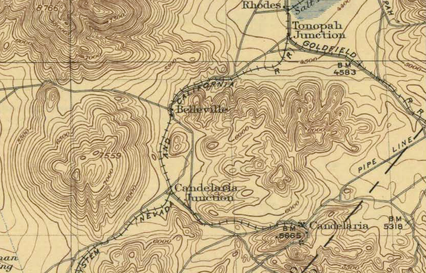 | 830 × 531 (936 KB) | Andrew Brandon (talk | contribs) | Cropped from USGS Topographical Map 1909. UNR Special Collections. |
You cannot overwrite this file.
File usage
The following page uses this file: